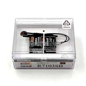
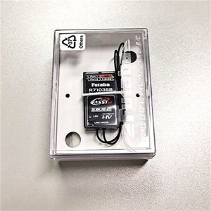
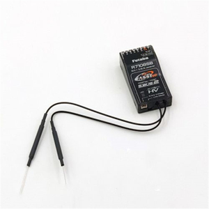
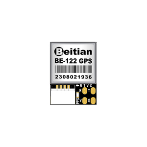
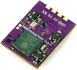
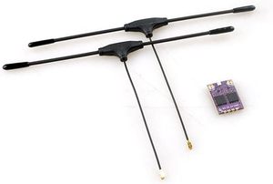
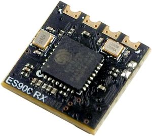
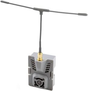
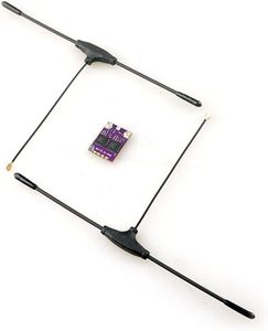
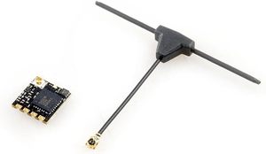
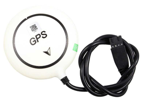
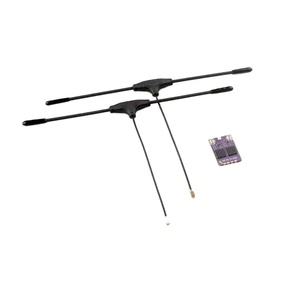
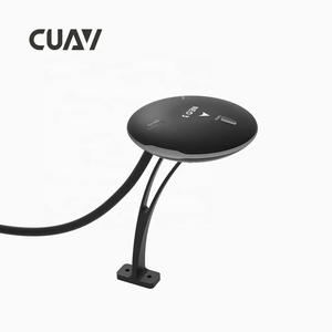
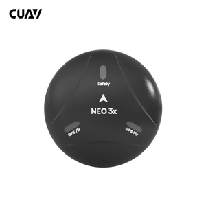
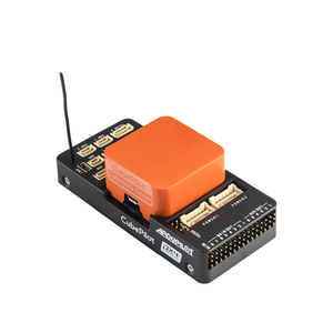
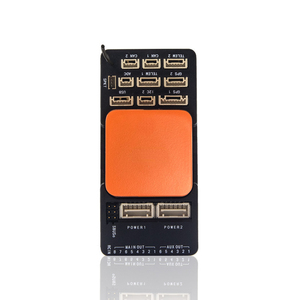
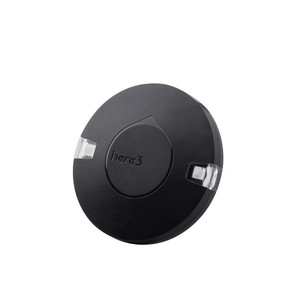
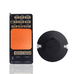
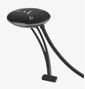
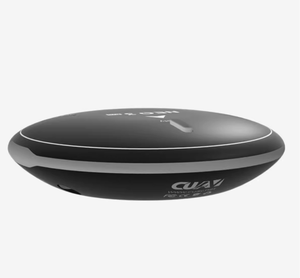
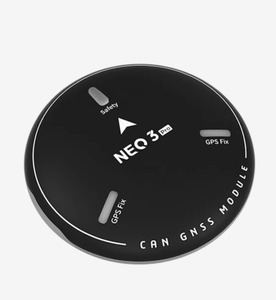
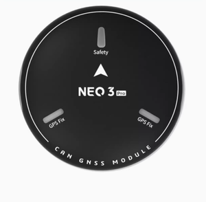
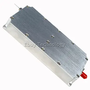
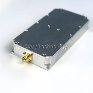
Types of UAV GPS Receivers
UAV GPS receivers are designed to receive and process signals from satellites to provide accurate location and navigation information. They are essential components of Unmanned Aerial Vehicles (UAVs) or drones, enabling precise positioning for various applications such as mapping, surveying, agriculture, and more. There are different types of UAV GPS receivers, as discussed below:
-
Handheld GPS receivers
They are portable, lightweight, and designed for easy carrying and use in various field settings. They offer basic GPS functionality, such as waypoint navigation and track recording. Their accuracy is typically a few meters, which is sufficient for many applications like hiking and wildlife tracking. They also have user-friendly interfaces with touch screens or physical buttons for easy operation in the field. Their battery lives are optimized for extended use in outdoor settings, and they are durable and water-resistant to withstand harsh environmental conditions.
-
Differential GPS receivers
These GPS receivers offer higher accuracy than standard GPS by using a network of ground-based reference stations. One of the reference stations is placed at a known fixed location and continuously calculates the difference between the GPS position and the true position. The difference is then transmitted as a correction signal to nearby GPS receivers. The UAV receives the correction signal and applies it to its GPS calculations. This eliminates common errors and significantly improves positioning accuracy. Differential GPS receivers are used in applications that require high precision, such as surveying, agriculture, and marine navigation.
-
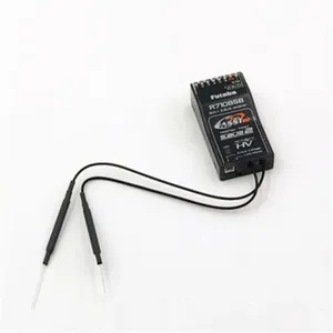
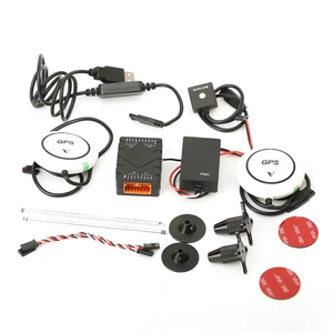
Real-Time Kinematic GPS (RTK)
RTK is a satellite navigation technique that uses the GPS system to provide real-time position data. It uses the phase of the GPS signal's carrier wave rather than the amplitude, which provides more accurate positioning. An RTK system consists of a base station, a rover (mobile receiver), and a communication link between the two. The base station continuously receives GPS signals from satellites and calculates its position with high precision. It then calculates the difference between its precise position and the GPS signals it receives. This difference is transmitted to the rover in real time through a communication link. The rover uses the base station's differential data to correct its GPS signals, providing real-time position data with centimeter-level accuracy.
-
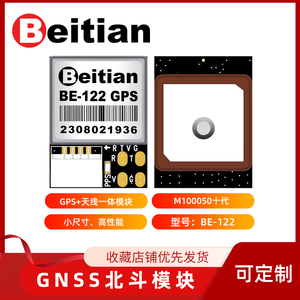
Galileo GPS receivers
These are advanced GPS receivers that utilize the Galileo satellite navigation system. The Galileo system is designed to provide higher precision and reliability than existing GPS systems. They are compatible with multi-frequency and multi-constellation receivers, which offer improved accuracy and robustness in positioning. UAV receivers leverage Galileo's capabilities for applications like precision agriculture, mapping, and autonomous navigation in critical environments.
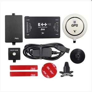
Specification and maintenance of UAV GPS receivers
Specification
-
Frequency Band:
The frequency bands supported by the GPS receiver are addressed. This may include L1, L2, or L5 frequencies.
-
Channel Count:
The number of channels indicates how many satellites the GPS receiver can track simultaneously. Higher channel counts improve accuracy and reliability.
-
Accuracy:
The specifications should include the level of precision that can be achieved. This may include horizontal and vertical accuracy metrics.
-
Update Rate:
The rate at which the GPS receiver updates its position information is addressed. Higher update rates provide more real-time data.
-
Power Consumption:
The power consumption of the GPS receiver is specified. Lower power consumption is advantageous for UAV operation.
-
Form Factor:
The size and weight of the GPS receiver are included, as well as its suitability for integration into the drone. Lightweight receivers are especially beneficial for small UAVs.
-
Communication Interface:
Details are provided regarding the communication interface of the GPS receiver, such as serial, USB, or I2C. This ensures compatibility with other UAV components.
-
Operating Temperature Range:
The temperature range within which the GPS receiver can operate is specified. This ensures that the receiver can function under various environmental conditions.
-
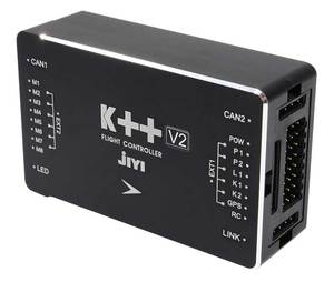
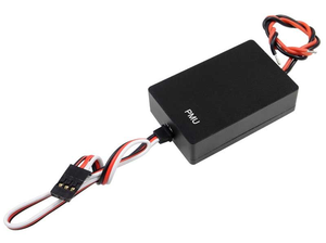
Integration with Sensors:
The integration of the GPS receiver with other sensors, such as an inertial measurement unit (IMU), is addressed. This enhances navigation accuracy.
-
Standards Compliance:
Information is provided regarding compliance with relevant standards, such as NMEA for data communication. This ensures interoperability with other systems.
Maintenance
-
Regular Software Updates:
The manufacturer's website is periodically checked to obtain the latest firmware and software updates for the GPS receiver. These updates should be installed to improve performance and functionality.
-
Cleaning:
The exterior of the GPS receiver should be cleaned regularly to remove dust, dirt, and debris. A soft cloth and a mild cleaning solution can be used for cleaning.
-
Checking Connections:
The electrical connections of the GPS receiver to other UAV components should be inspected regularly. Loose or damaged connections should be addressed to ensure reliable data transmission.
-
Battery Maintenance:
If the GPS receiver has a built-in battery, proper battery maintenance should be performed. This includes following the manufacturer's recommendations for charging and discharging the battery.
-
Environmental Protection:
The GPS receiver should be protected from extreme environmental conditions, such as high humidity or extreme temperatures, that could affect its performance.
-
Calibration:
Periodic calibration of the GPS receiver may be necessary to maintain accuracy. This should be performed according to the manufacturer's instructions or using specialized calibration tools.
-
Data Backup:
Important data and configurations of the GPS receiver should be backed up regularly. This ensures data recovery in case of failure or damage to the receiver.
-
Testing:
Regular testing of the GPS receiver should be performed to ensure its proper operation. This may include position tracking tests, communication tests, and performance tests.
How to Choose UAV GPS Receivers
There are many factors to consider when choosing a UAV GPS system. These factors include:
-
Accuracy
Different tasks require different levels of accuracy. For surveying and mapping, high accuracy (within a few centimeters) is essential. For general monitoring or inspections, a less accurate but reliable positioning might suffice.
-
Integration
The GPS should integrate seamlessly with other uav components. This includes the flight controller, sensors, cameras, and communication systems. This ensures coherent data across the board.
-
Size and weight
For smaller drones, the GPS receiver has to be compact and lightweight. It's important to ensure that the GPS receiver is not so heavy that it affects the drone's flight performance.
-
Durability
The UAV GPS receiver should be able to withstand harsh environmental conditions like extreme temperatures, dust, and moisture. This is especially important for drones engaged in industrial inspections or agricultural field mapping.
-
Power consumption
Higher GPS receivers consume a lot of power, which can reduce the flight time of the drone. Select a GPS receiver that has optimized power usage to extend flight duration.
-
Cost
Different UAV GPS systems come at different price points. High-precision GPS systems are more expensive than those with less accuracy. When selecting a GPS receiver, consider the budget but also consider the long-term benefits of an accurate and reliable GPS system.
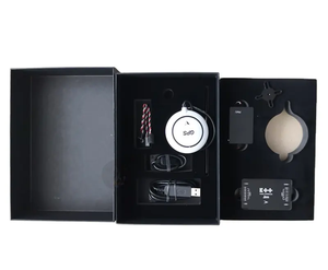
How to Replace UAV GPS Receiver
Here are some common steps for replacing a UAV GPS receiver:
- Identify the correct GPS receiver that matches or exceeds the specifications of the old receiver (in case of damage).
- Power down the UAV before starting the replacement process.
- Carefully open the UAV's access panel to locate the old GPS receiver.
- Disconnect the old receiver from the power and data connections. This may involve unplugging connectors or removing screws.
- Remove the old receiver from its mounting location. It may be necessary to use adhesive or tape to hold the receiver in place.
- Install the new receiver by placing it in the mounting location and securing it with connectors or screws.
- Reconnect the receiver to the UAV's power and data systems. Ensure that the connections are secure and correct to avoid damage to the receiver or the UAV.
- Close the access panel and power up the UAV. Before taking off, ensure the new receiver is functioning correctly.
Q&A
Q1: What is the difference between GPS and GNSS?
A1: GPS is a satellite-based navigation system developed by the USA that provides location information worldwide. On the other hand, GNSS is a broader term that encompasses GPS and other satellite systems like GLONASS (Russia), Galileo (European Union), and BeiDou (China). GNSS receivers can access signals from multiple satellite systems, improving accuracy and reliability compared to GPS alone.
Q2: What is the difference between UAVs and drones?
A2: UAVs (Unmanned Aerial Vehicles) are aircraft that operate without a human pilot on board. They are also known as drones. UAVs are used in military applications, commercial tasks such as aerial photography, surveying, and agriculture, and recreational purposes. In general, UAVs refer to the broader category of unmanned aerial systems, while drones refer to the more commonly used UAVs in civilian airspace.
Q3: How long does a UAV GPS receiver last?
A3: The longevity of a UAV GPS receiver depends on various factors, such as the quality of the GPS receiver, usage frequency, and environmental conditions. High-quality GPS receivers designed for UAVs can last several years with normal usage and proper maintenance. Additionally, the longevity of UAV GPS receivers can be affected by extreme weather conditions, exposure to dust or moisture, and physical impacts.
Q4: Can a GPS receiver be used for other purposes apart from UAV navigation?
A4: Yes, a UAV GPS receiver can be used for other purposes besides navigation, such as georeferencing aerial imagery, mapping and surveying, agricultural field mapping and crop monitoring, environmental monitoring, and wildlife tracking. The GPS data collected from the UAV can be used for various applications requiring location and altitude information.
Q5: Can a UAV GPS receiver be upgraded to improve accuracy?
A5: Yes, a UAV GPS receiver can be upgraded to improve accuracy. Many GPS manufacturers provide firmware updates that enhance performance, accuracy, and compatibility. Furthermore, additional hardware modules, such as a ground-based reference station or RTK (Real-Time Kinematic) module, can be connected to the UAV GPS receiver to improve accuracy.


 浙公网安备 33010002000092号
 浙B2-20120091-4